
Autonomous Safe-Landing Drone with Computer Vision-Based Terrain Detection
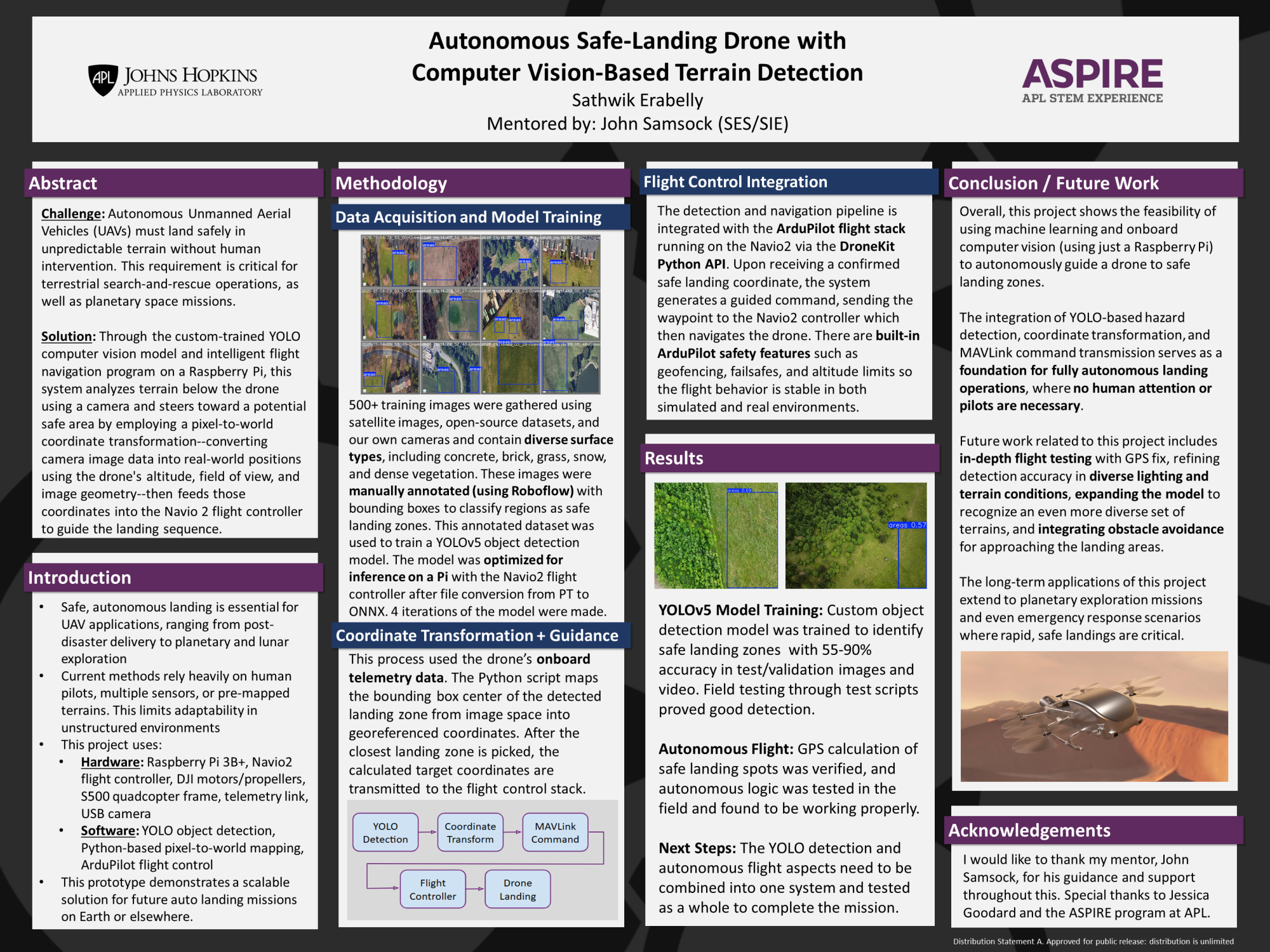
This autonomous drone locates safe landing zones in real time for use in situations where a drone must make safe, unsupervised landing decisions on unmapped terrain. Through the custom-trained YOLO computer vision model and intelligent flight navigation program on the featured Raspberry Pi, the system analyzes terrain below the drone through a single camera and steers toward a potential safe area by employing a pixel-to-world coordinate transformation--converting camera image data into real-world positions using the drone's altitude, field of view, and image geometry--then feeds those coordinates directly into the Navio 2 flight controller to guide the landing sequence. The broader goal is to develop landing intelligence that scales to unstructured environments, including planetary missions like NASA's Dragonfly, where a human can't be the one operating the aircraft.
Intern: Sathwik Erabelly
Mentor: John Samsock (SES/SIE)


_page-0001.jpg)


-[Autosaved].png)


.png)
.png)


